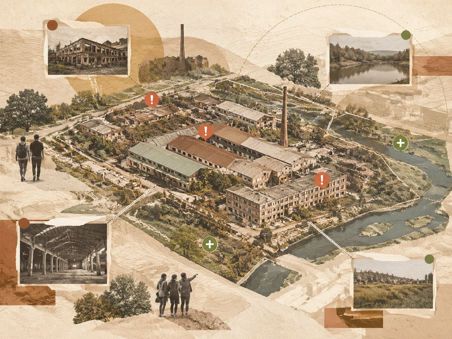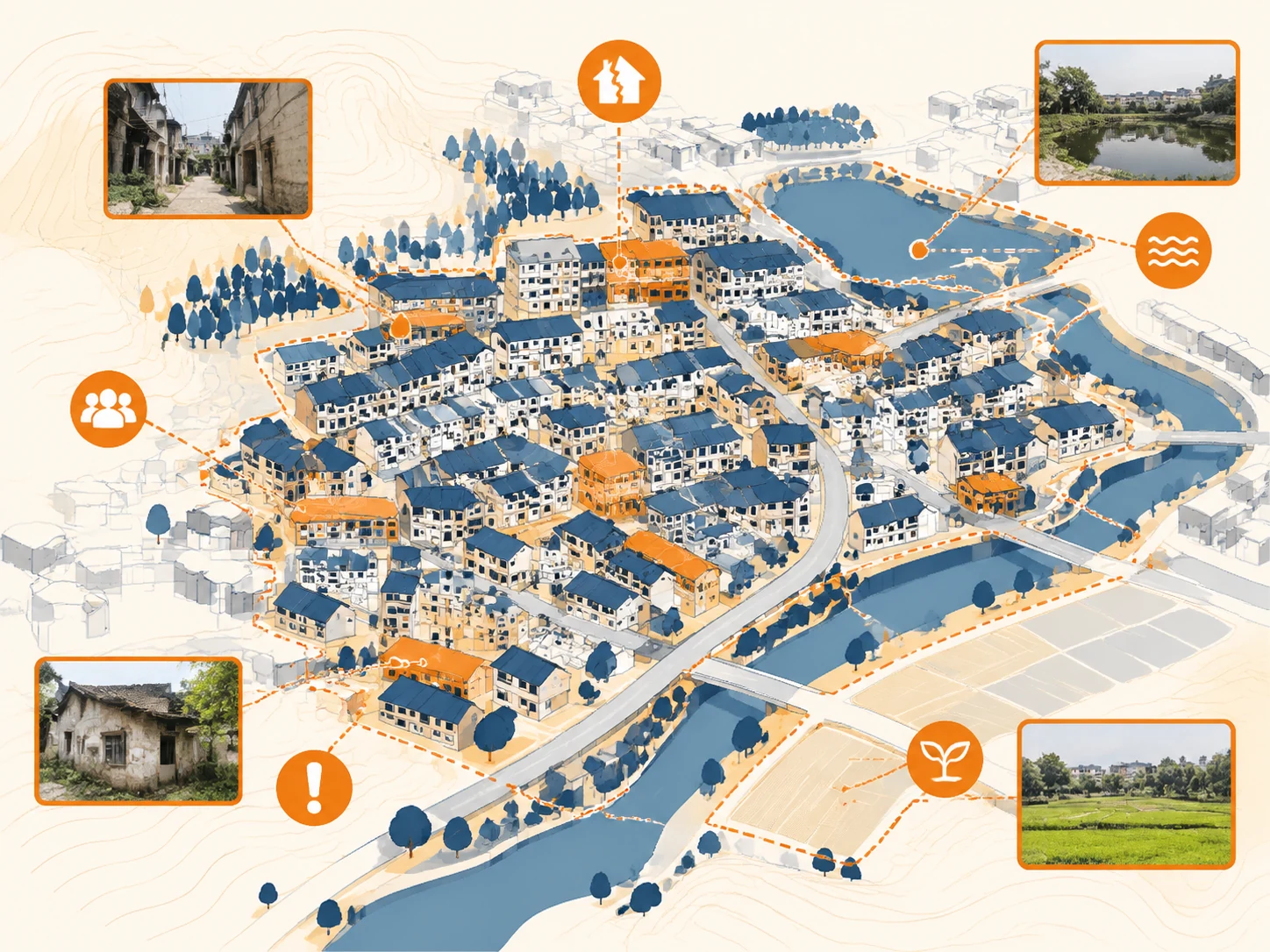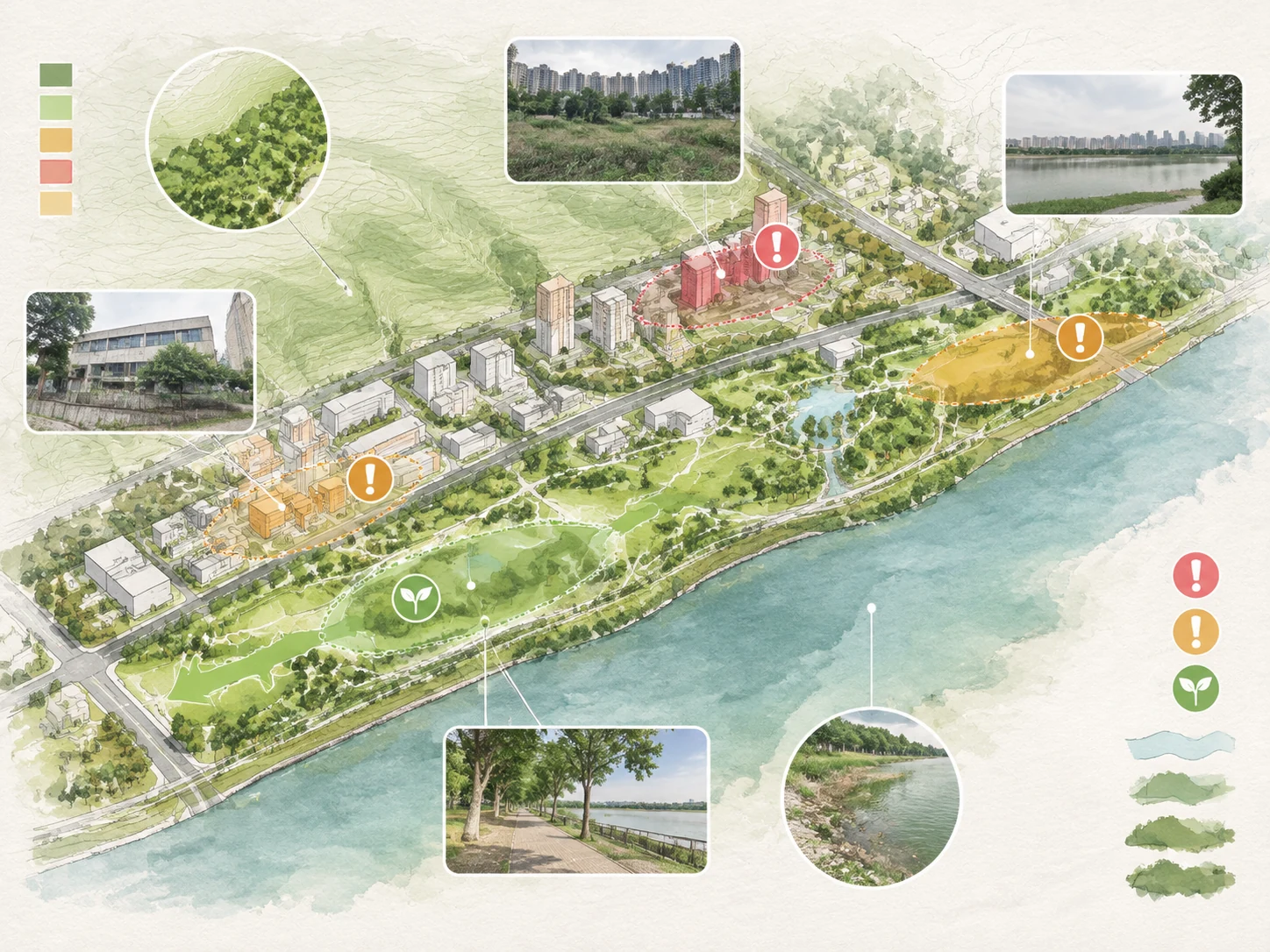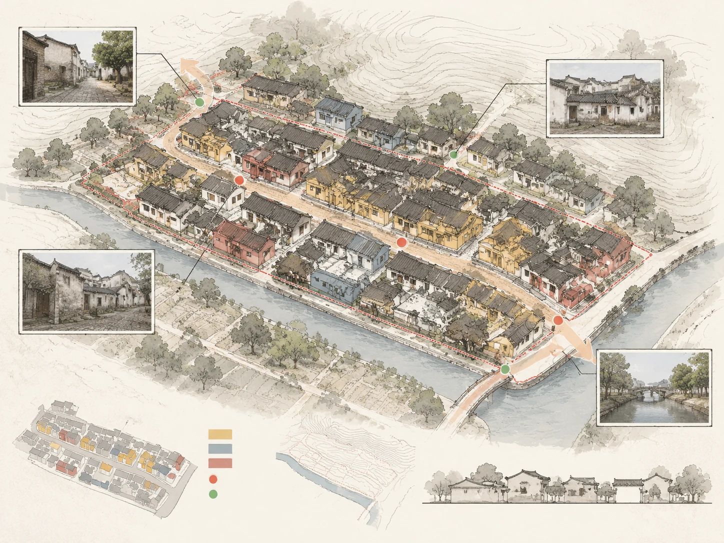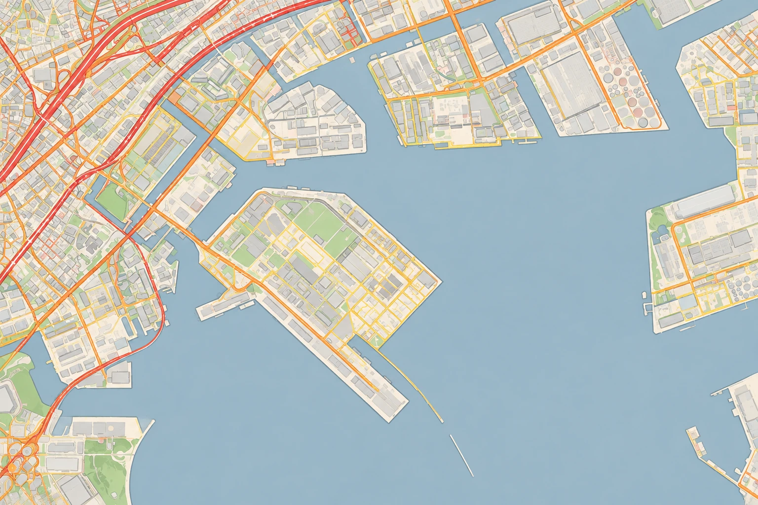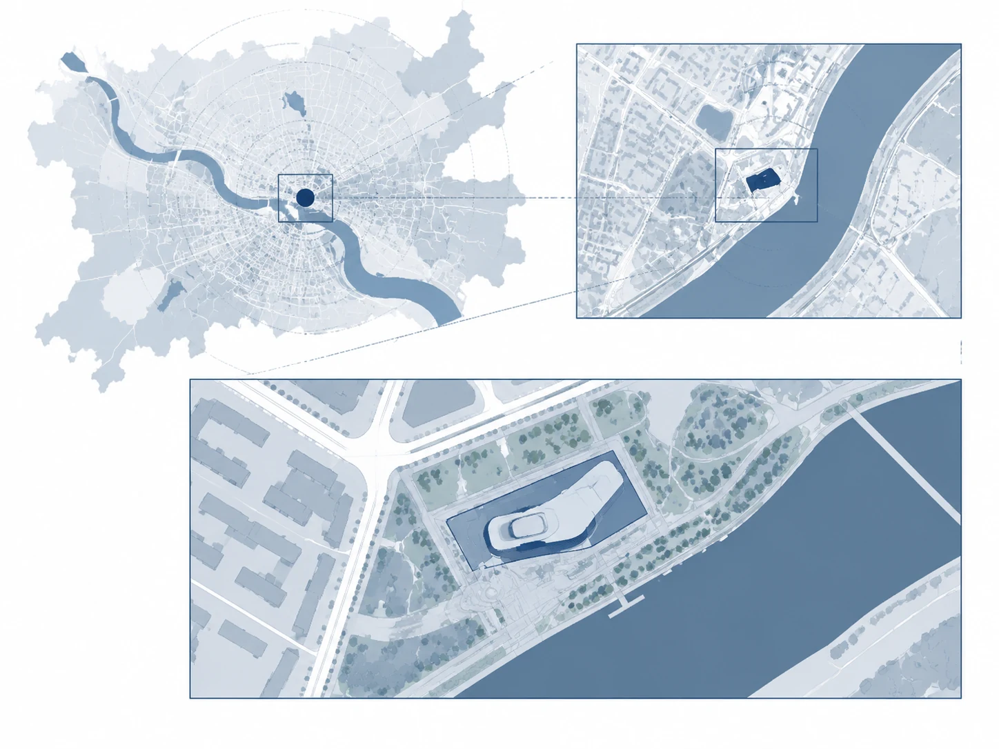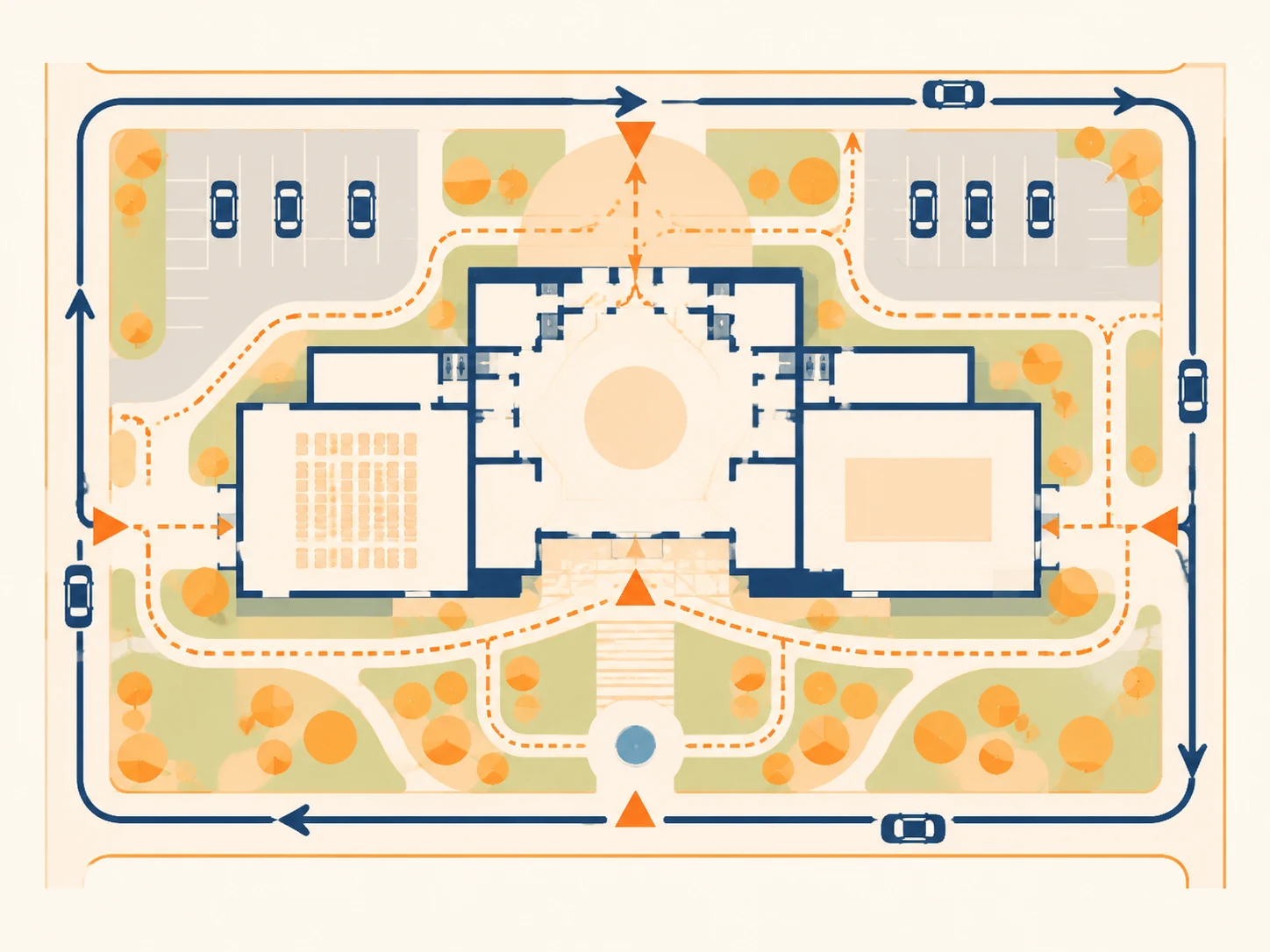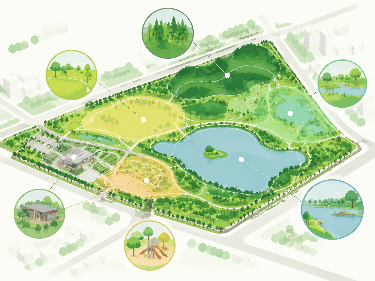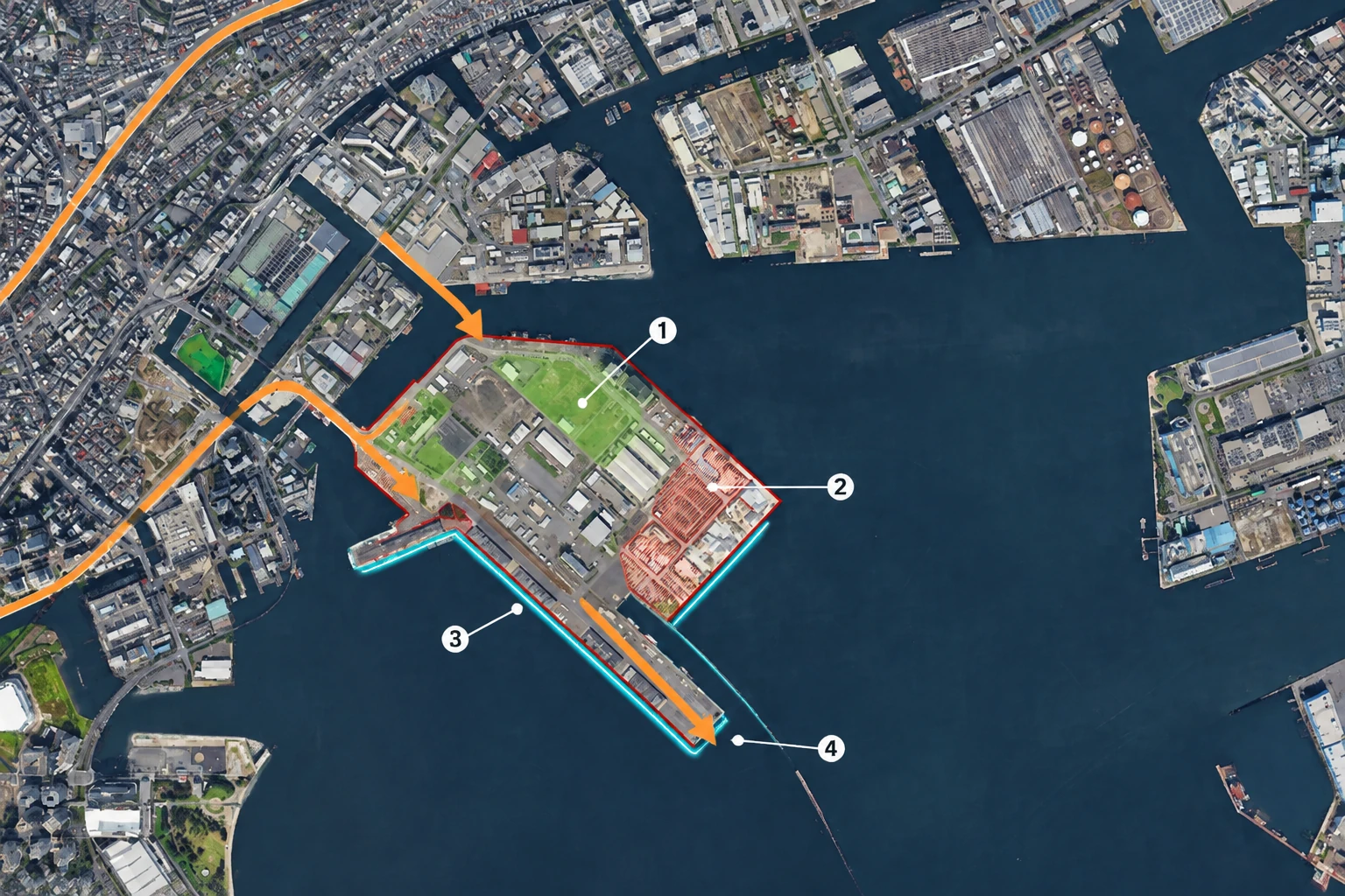
滨水工业半岛基地分析
以真实卫星影像为底图,保留岸线、道路、建筑和工业设施,在同一画面上叠加基地边界、交通入口、滨水界面、机会区与限制因素。
出图设置 同一基地的原始卫星图与 AI 分析叠加图
编辑所提供的卫星图,制作专业的城市设计基地分析图。完整保留原卫星影像、岸线、水体、道路、桥梁、建筑、地块、视角与地理范围。将{画面下方中央的滨水工业半岛}作为项目基地,只添加克制、半透明的建筑分析叠加:清晰的红色基地边界、沿现状道路和桥梁入口布置的橙色交通箭头、沿滨水边缘的青色线、开敞地上的浅绿色机会区、重工业设施附近的红色限制标记,以及少量白色引线和编号圆点。底图必须清晰可辨;使用精确细线和清楚的图面层级;不要标题、图例或文字,不新增建筑,不移动道路,不改变岸线,不要水彩或插画效果,不要重绘整张图。
Edit the supplied satellite image into a professional urban site analysis diagram. Preserve the original satellite photograph, exact coastline, water bodies, roads, bridges, buildings, parcels, camera angle, and full geographic extent. Treat {the industrial waterfront peninsula in the lower center} as the project site. Add restrained semi-transparent architectural analysis overlays only: a clear red site boundary, orange access arrows following existing roads and bridge approaches, a cyan line tracing the waterfront edge, pale green opportunity zones on open land, subtle red constraint markers near heavy industrial facilities, and a few clean white leader lines with simple numbered circles. Keep the satellite image fully recognizable beneath the graphics. Contemporary planning presentation style, precise thin vector lines, clean hierarchy, no title, no legend, no words, no invented buildings, no relocated roads, no changed shoreline, no watercolor, no illustration, no full-image repainting.
把高亮的部分换成你的项目
关键词拆解
点一下复制单个关键词,可以拿去自己组合- 目标基地
- 其他
- 目标基地
- 其他