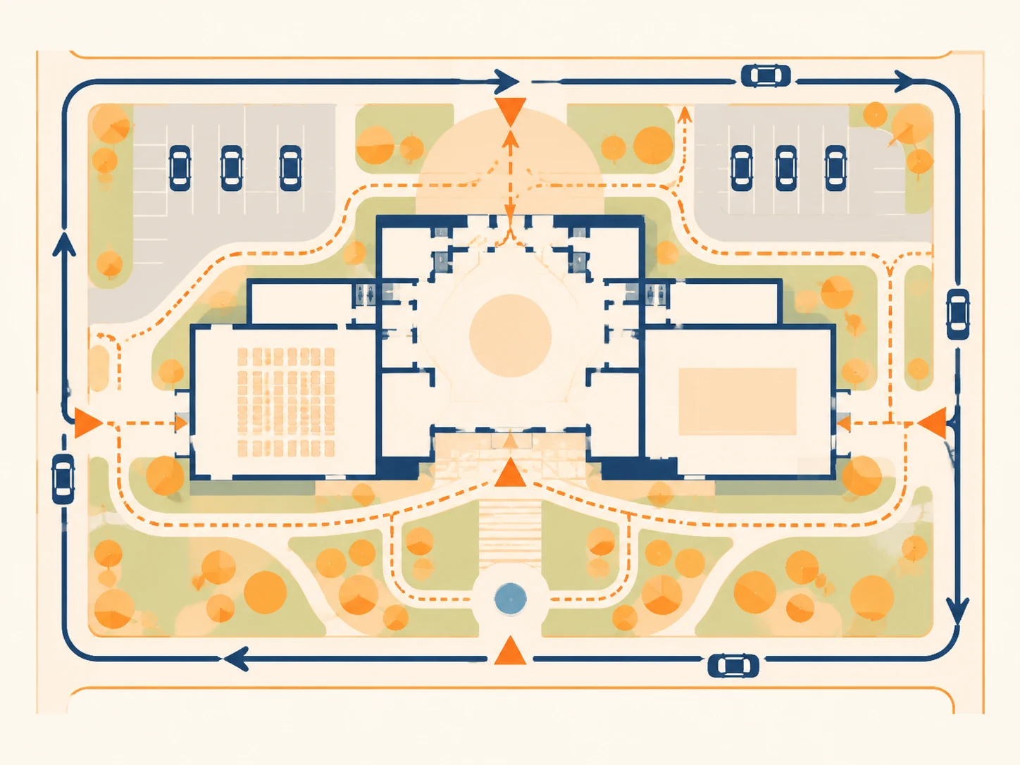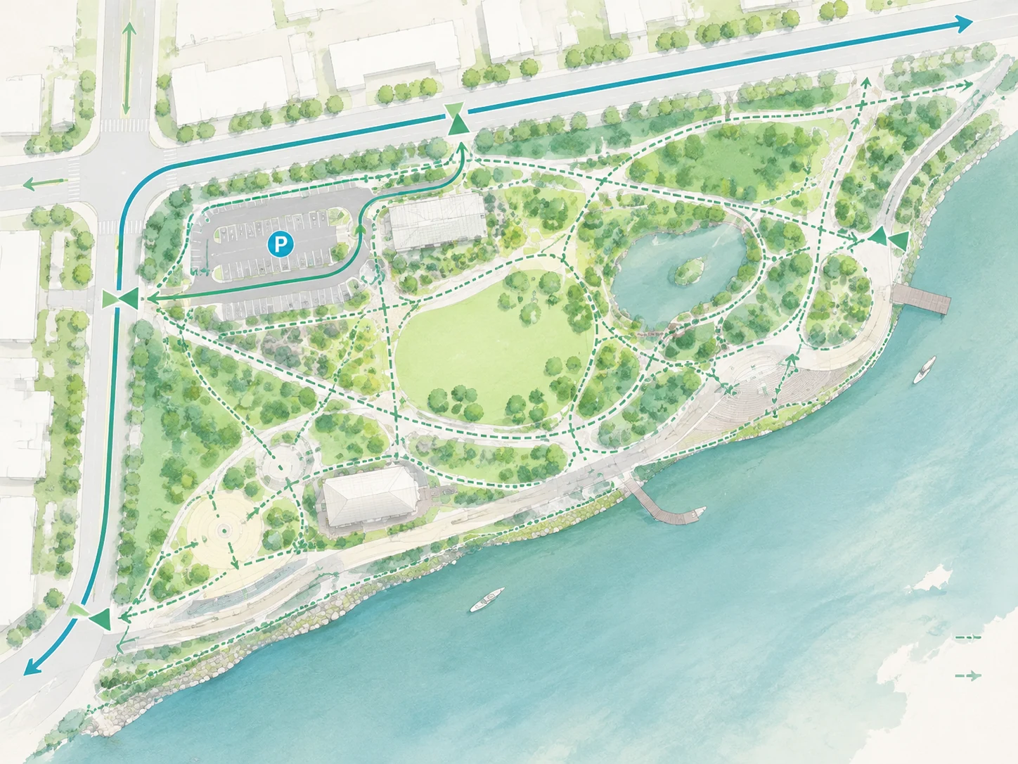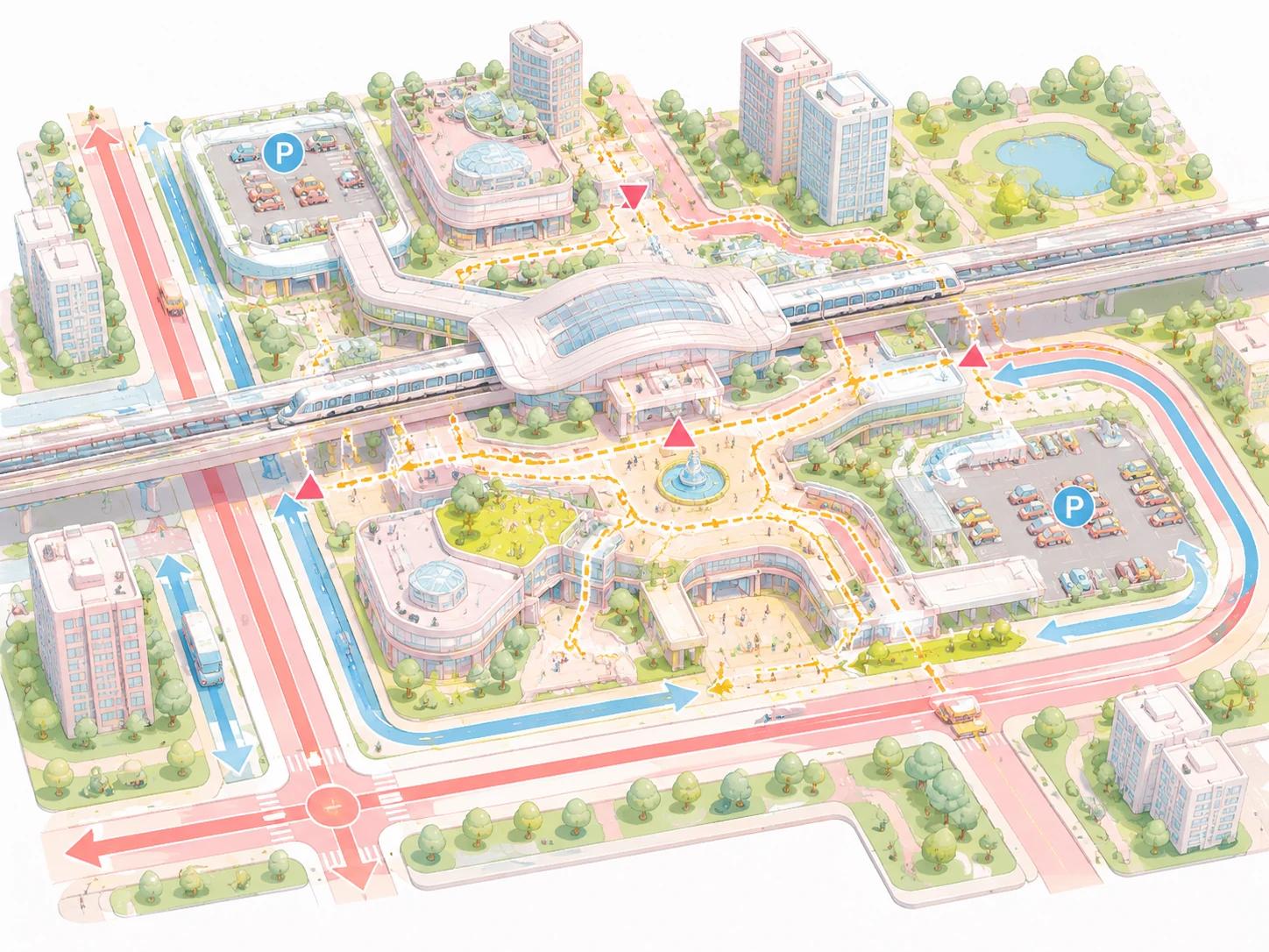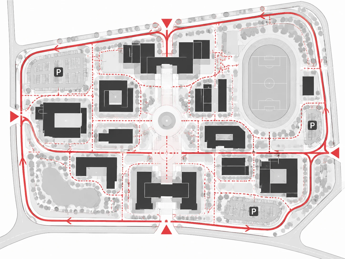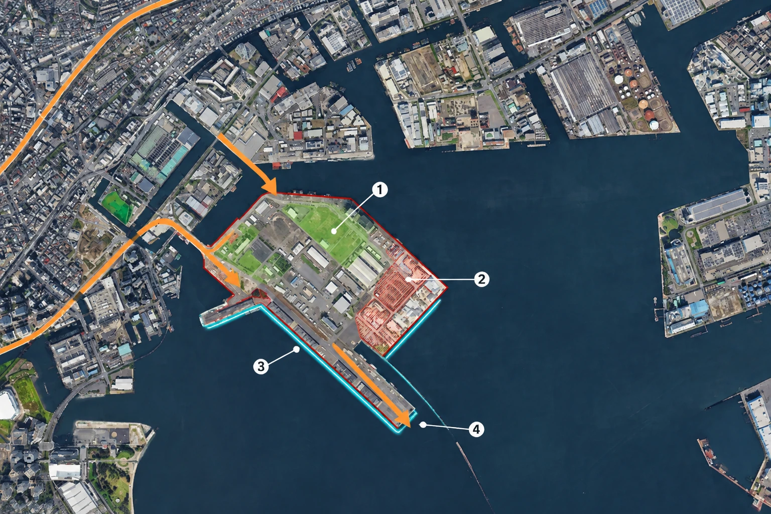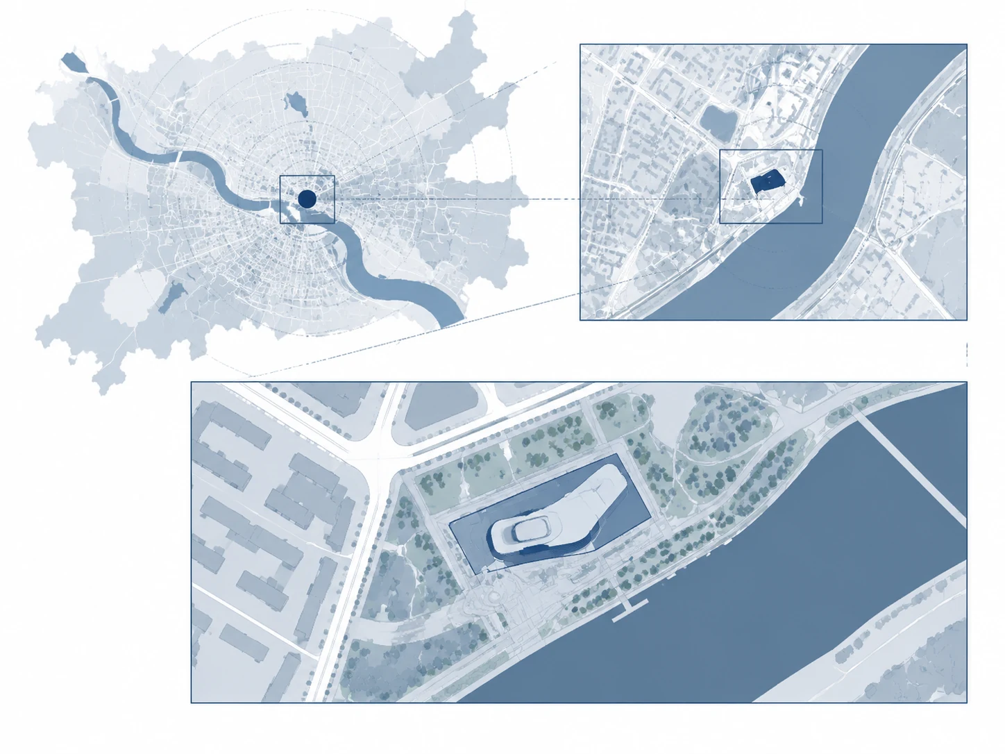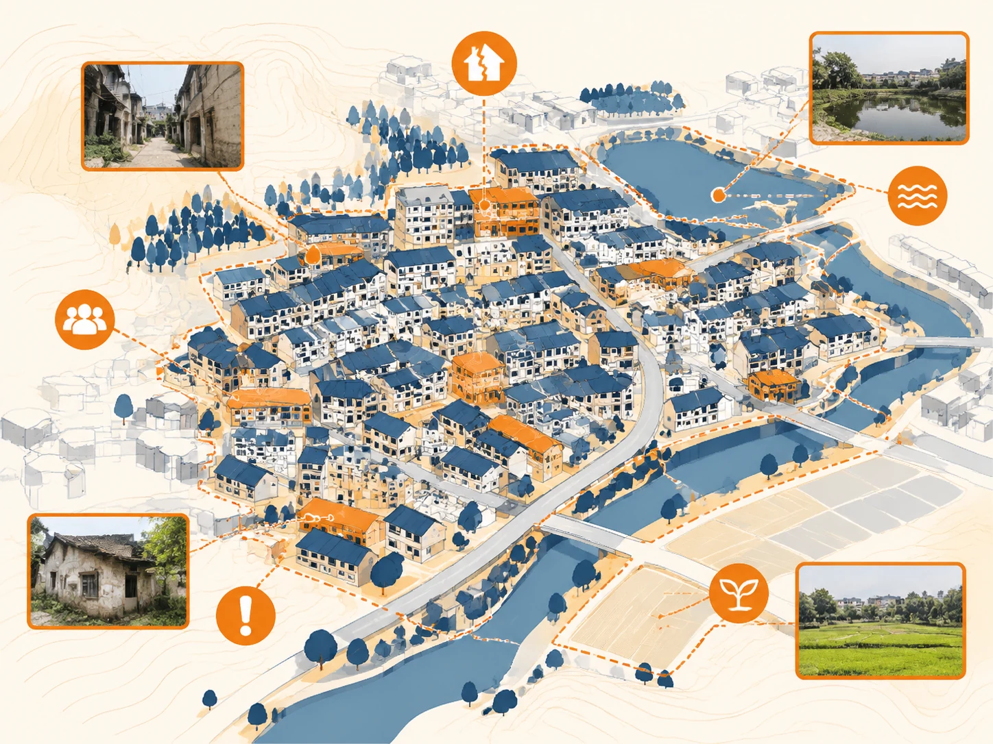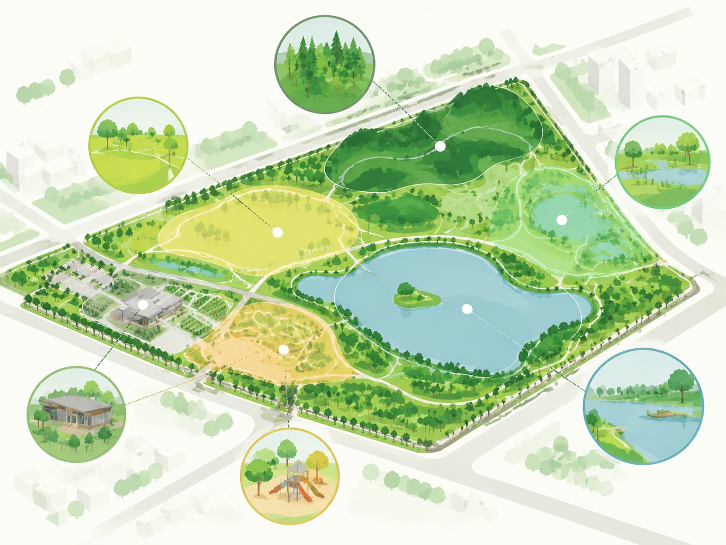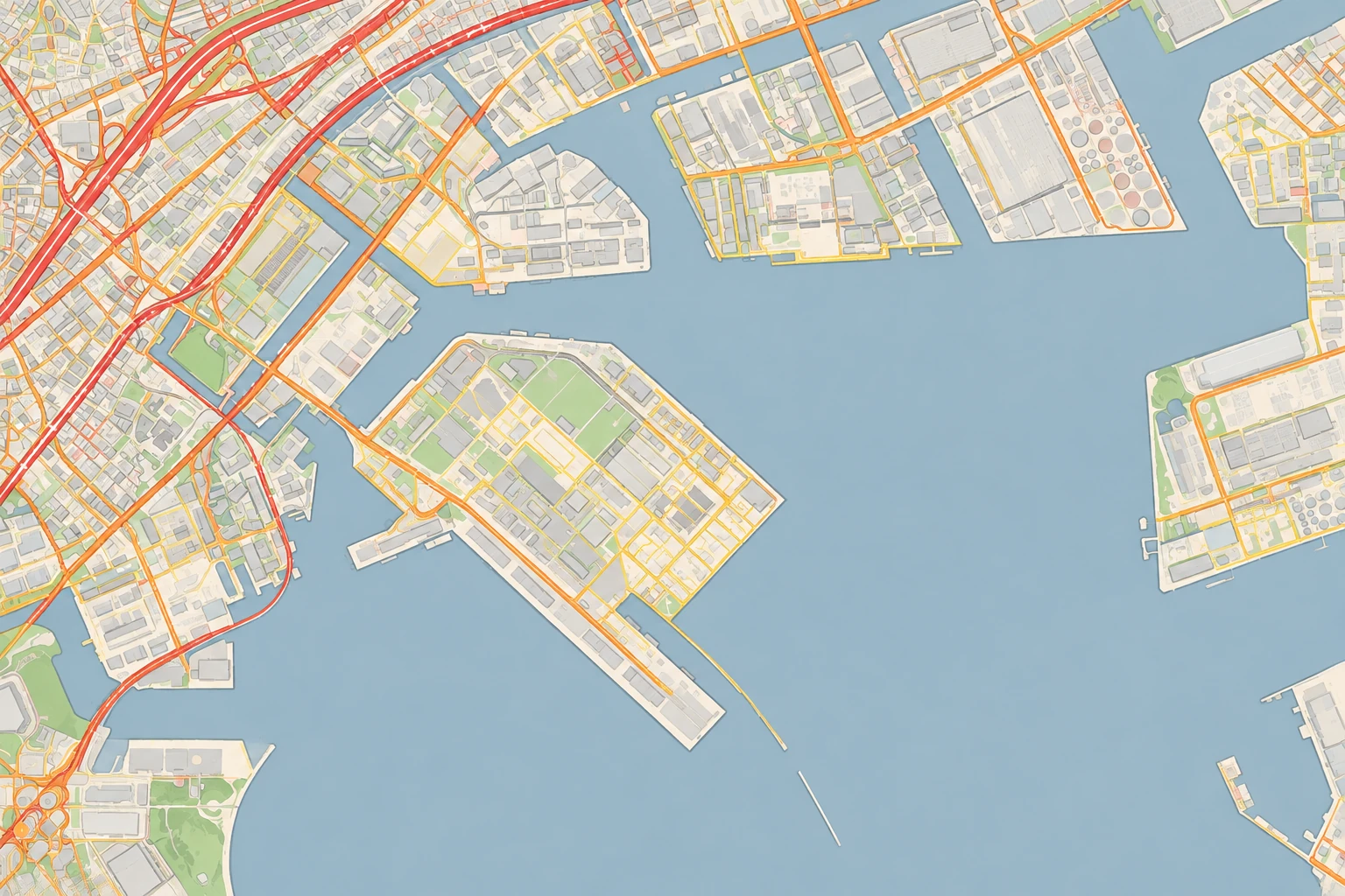
滨水工业半岛道路交通分析
基于真实卫星影像转绘的淡彩道路交通分析图,以不同线宽和颜色区分主干路、次干路与基地内部支路,并保留原始岸线、桥梁和城市结构。
出图设置 同一基地的原始卫星图与 AI 分析叠加图
编辑所提供的卫星图,制作专业的城市设计道路交通分析图。完整保留原有地理范围、岸线、水体、桥梁、街道几何、街区、建筑、地块、视角和比例,不新增、移动、拉直或删除道路。将卫星底图转换成低饱和淡彩建筑总平面风格:水体为浅蓝灰、陆地为暖米白、建筑为极浅冷灰、植被为薄荷绿、工业区为柔和米色。只描绘原图中真实存在的道路,并在全图建立明确层级:主干路和主要桥梁引道使用粗的深珊瑚红线,次干路使用中等宽度的暖橙色线,基地内部与地方支路使用细的柔和金黄色线。强化通往{画面下方中央的滨水工业半岛}的交通联系,但不要把路线画到水面上。图面使用克制的半透明矢量叠加、清晰线宽差异和精确交叉口;不要标题、图例、标签、文字、数字或图标,不新增建筑,不改变岸线,不要水彩纹理。
Edit the supplied satellite image into a professional urban-design road and traffic analysis diagram. Preserve the exact full geographic extent, coastline, water bodies, bridges, street geometry, blocks, buildings, parcels, camera angle, and proportions. Do not invent, relocate, straighten, or remove any road. Convert the satellite base into a refined low-saturation pastel architectural site-plan style while keeping the real urban structure recognizable: water pale blue-gray, land warm ivory, buildings very light cool gray, vegetation soft mint green, industrial areas muted beige. Trace only roads that actually exist in the source. Show a clear road hierarchy across the full image: primary arterial roads and major bridge approaches as thick deep coral-red lines; secondary roads as medium-width warm orange lines; local and internal roads as thin muted golden-yellow lines. Emphasize access connections to {the industrial waterfront peninsula in the lower center} without drawing routes across water. Clean contemporary planning-board graphic, restrained semi-transparent vector overlays, balanced hierarchy, crisp edges. No title, legend, labels, words, numbers, icons, extra buildings, changed shoreline, or watercolor texture.
把高亮的部分换成你的项目
关键词拆解
点一下复制单个关键词,可以拿去自己组合- 目标基地
- 其他
- 目标基地
- 其他